Beholder · Monitoring and operations

See the situation. Know where to act.

Beholder brings your maps to life by connecting them to your information systems. Equipment, events and operational data come together in one digital twin to help you understand a situation and organise the response.

The map becomes an interface for exploring, understanding and acting on your site.

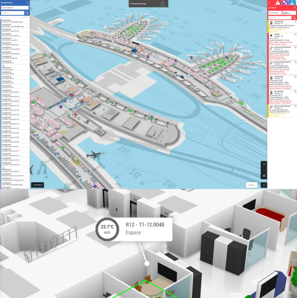
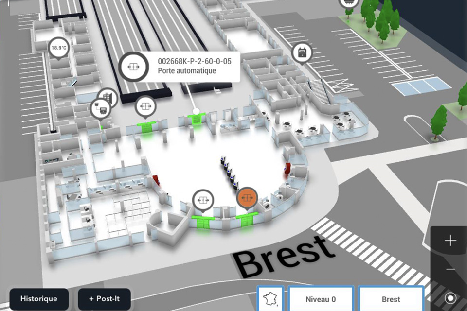
Site and equipment view in Beholder
A map connected to reality

An asset’s context, one click away.

Find an asset on the map, select it and access its status, properties and documentation. The site representation connects technical information to a place your teams recognise.

In the control room or in the field, everyone shares a common view of the situation. Map objects can change appearance according to their status and offer the actions available to the user.

Locate

Move from an equipment or alert list to its location on the map with a click or tap.

Understand

View readings, properties, documents and intervention information associated with the selected object.

Act remotely

Send available commands to connected equipment, according to the integrated functions and assigned permissions.

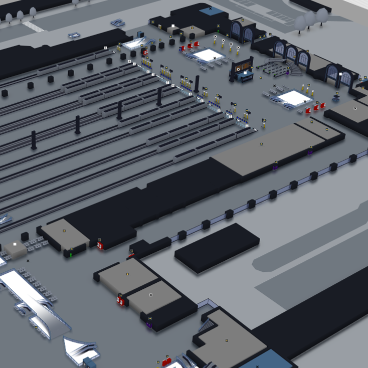
Station monitoring with equipment and contextual data in Beholder
Data in context

Readable data, in the right place.

Information cards attach values, statuses and indicators to equipment on the map. Colours, units, labels and variable visibility adapt to your needs, making information directly usable.

The overview highlights points that need your attention. Open an object’s details to review its context, track changes or prepare an action.

Alerts and follow-up

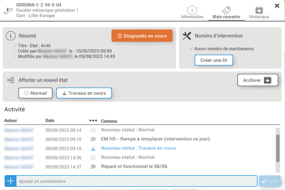
Highlight anomalies according to your business rules and track their handling through a configurable maintenance workflow.

Current and historical views

View the current state and, where historical data is available, revisit an earlier situation to better understand an event.

Reports and exports

Use status, configuration or statistical reports, export to Excel and customise reporting through scripting.

From control room to field

Share the context. Make interventions easier.

The map also supports collaboration and helps teams find their way around the site.

Annotations and collaboration on a Beholder map

Collaborate around the same object

Add comments to equipment, locations and interactive objects. Share documentation, field feedback and intervention history to preserve the context behind decisions.

Annotations let you flag a situation to a team or individual. They can be commented on, validated and archived, with visibility tailored to user profiles.

Explore collaboration
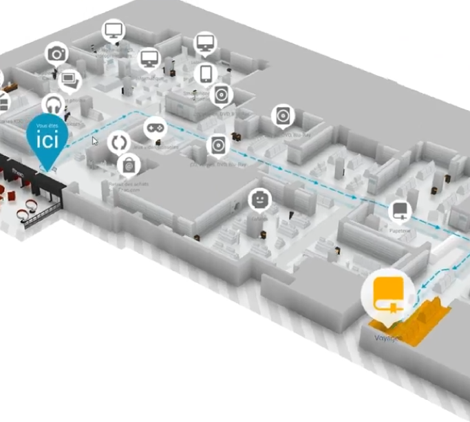
Route to an asset in Beholder’s 3D map

Guide teams to the asset

Prepare a route through the site using configured constraints, such as accessibility, permitted passages or bulky loads. Step-by-step directions explain the route.

When position data is available, the route can adapt as you move. Otherwise, choose a start and destination on the map. Routing is also available to integrations through an API.

Explore wayfinding
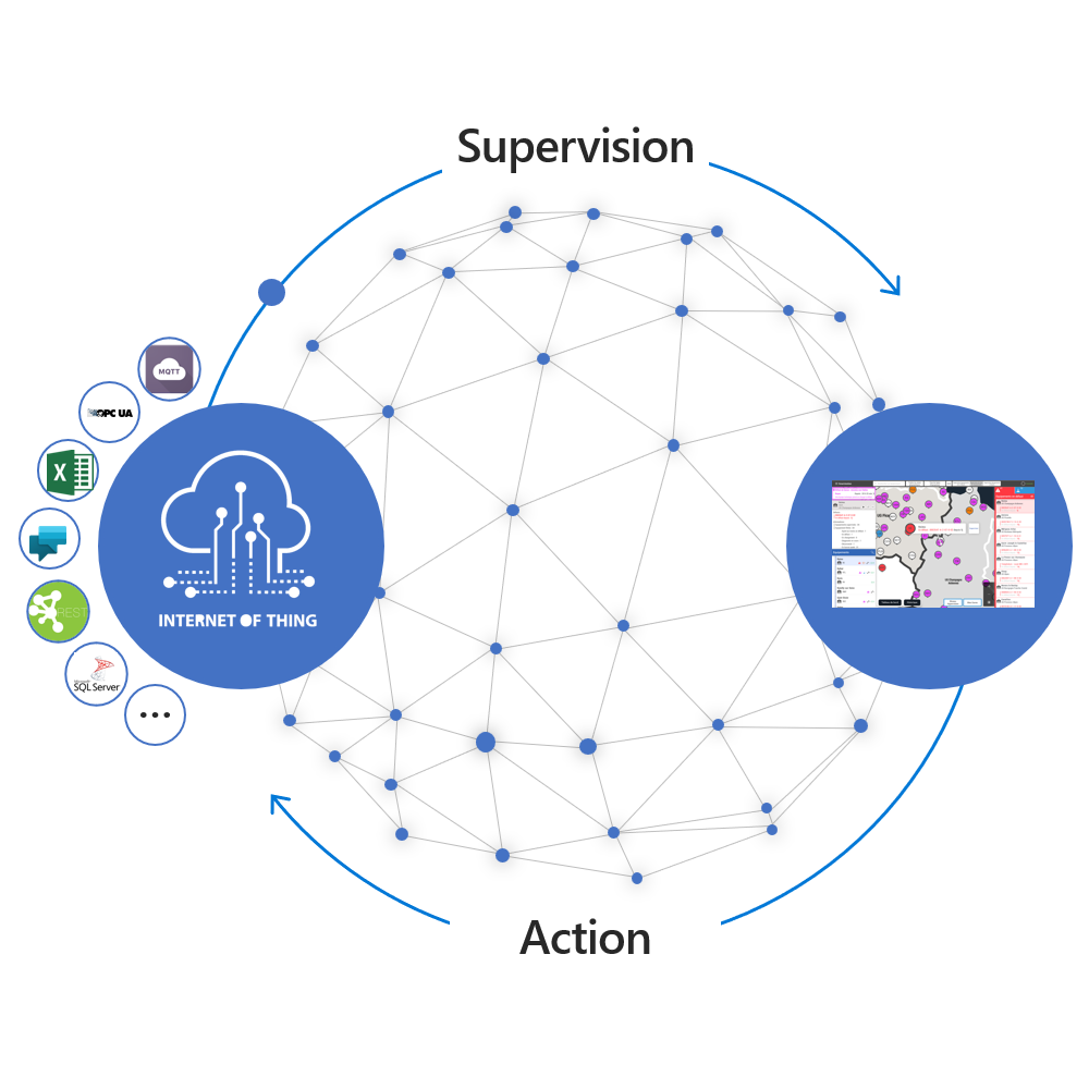
Diagram of the Hub connecting data sources to Beholder
The link to your systems

The Hub brings data sources together.

The Hub connects Beholder to the systems producing your data. Its connectors retrieve values and status changes, then distribute updates to the relevant applications.

Depending on the connectors deployed, sources can use OPC UA, MQTT, Modbus, REST, SQL databases or Excel and CSV files. Custom .NET connectors integrate other systems without exposing their protocol to the monitoring interface.

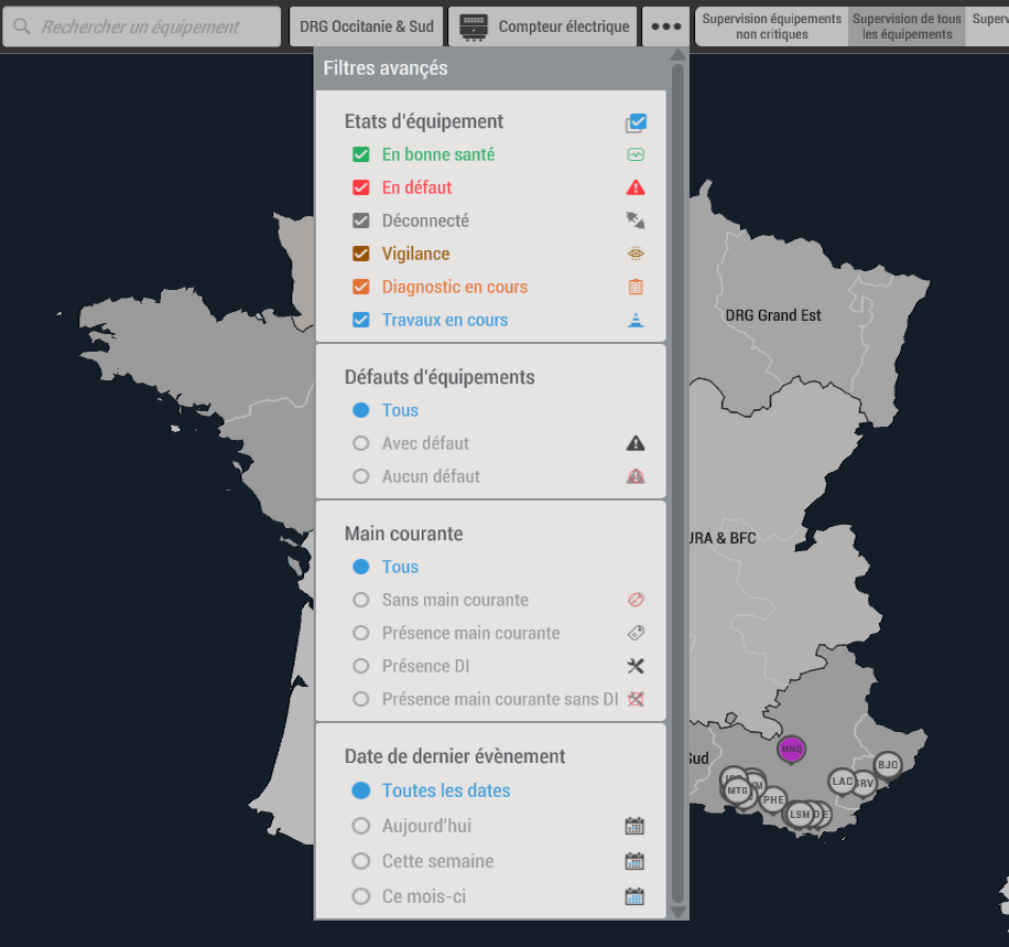
Beholder filters for selecting relevant equipment and statuses
The information that matters

Combine filters to focus your view.

Combine building or area, equipment type, status, severity, metadata or maintenance progress. The list and map focus on objects matching your criteria.

These filters refine the information your profile is authorised to view. Practical examples include:

  • Faulty lifts that have not yet been assigned for attention.
  • Tripped meters in a given area, or faulty equipment without an intervention request.
Monitoring tailored to your teams

Your business rules. The right access permissions.

Adapt the digital twin’s behaviour and define the data and actions available to each profile.

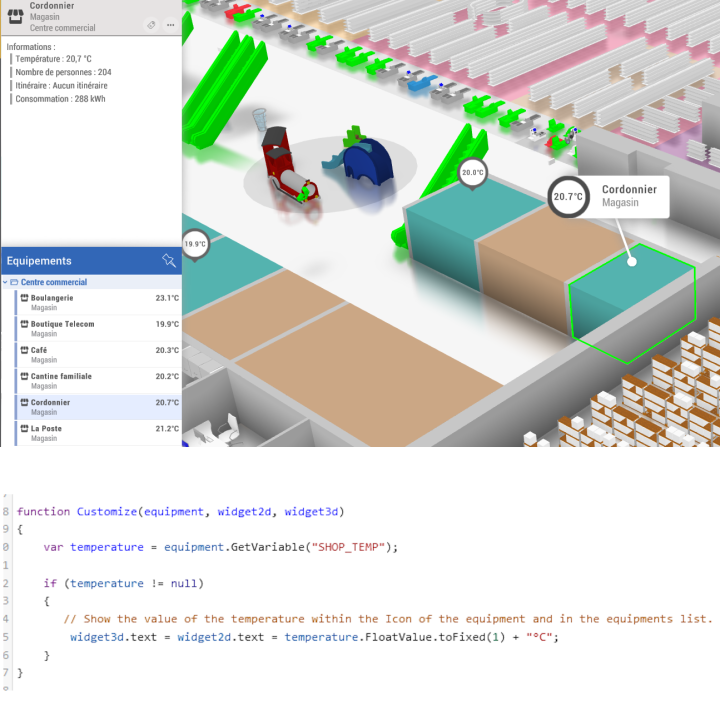
Customising Beholder behaviour through scripting

Extend through scripting

Change how objects appear according to their status, add actions and build interactions suited to your operations. Scripting connects data, equipment and the interface.

Behaviours can be updated remotely without reinstalling the client application. You can also customise reports and extend integration with other tools.

Discover scripting
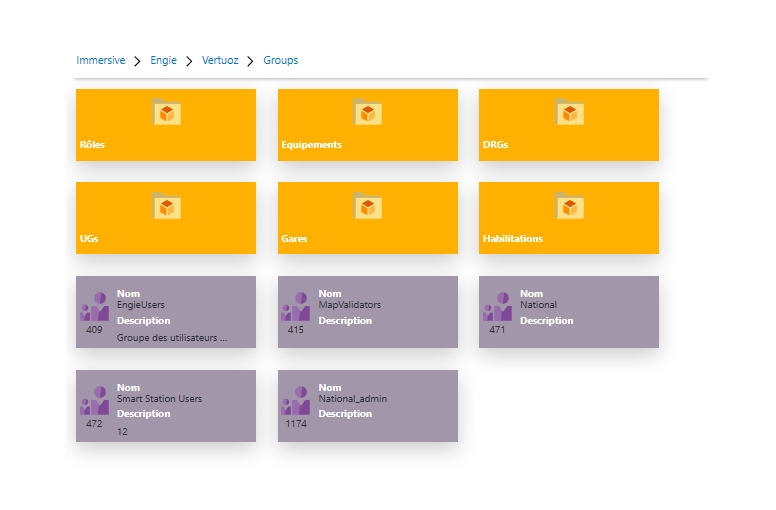
Security explorer for users, groups and permissions

Control access and actions

Organise users, groups and equipment to match your organisation. Permissions determine which sites, objects, information and commands each person can access.

Authentication can integrate with your enterprise environment, including SSO depending on the chosen configuration. Teams share the same tool with access scopes suited to their responsibilities.

Explore access rights and security
Find your bearings before setting out

Explore the site at ground level.

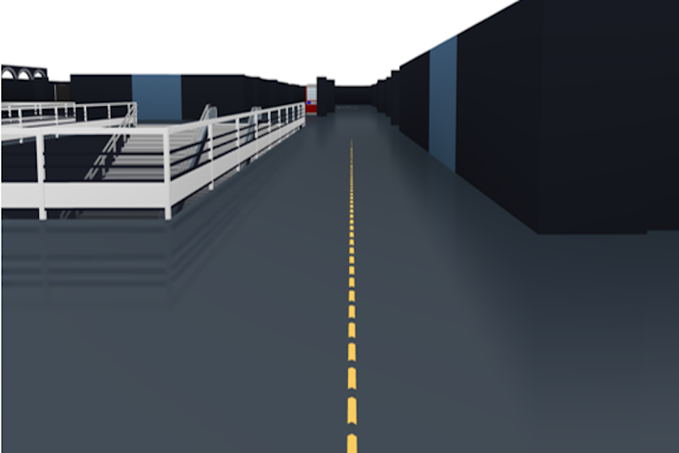
The first-person view lets you preview a route before an intervention. Volumes, terrain and 3D objects provide visual landmarks to help you understand a place, even on your first visit.

Combine a 2D or 3D overview with this ground-level perspective. Teams can prepare their route to the relevant area or asset.

Explore first-person view
Immersive on a computer, tablet and phone
At the desk and in the field

One solution, multiple devices.

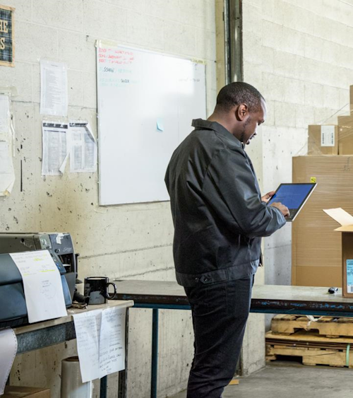
Immersive interfaces run on PCs, mobile devices and in the browser, depending on the chosen deployment. The same context supports operators at their desks and teams on the move.

Data exchanges are designed to stay lightweight, including on limited connections. Deployment and extension options let the tool evolve with the way your site operates.

3D representation of a site in Immersive

An interface that supports real tasks

Usability, a lightweight engine, geolocation and devices: discover the choices that shape the Immersive experience.

Route displayed on a 3D map

3D for a clearer understanding of places

Volumes, furniture and visual landmarks make a site’s layout and routes easier to read.

An operational scenario

From alert to intervention.

In a station, logistics terminal, industrial facility or office building, the map connects problem detection to the response.

01

Receive

A connected system sends a status change or an alert.

02

Locate

The operator locates the equipment and its area on the map.

03

Assess

They review the available readings, documentation and history.

04

Coordinate

The team shares an annotation, plans the route and tracks the response.

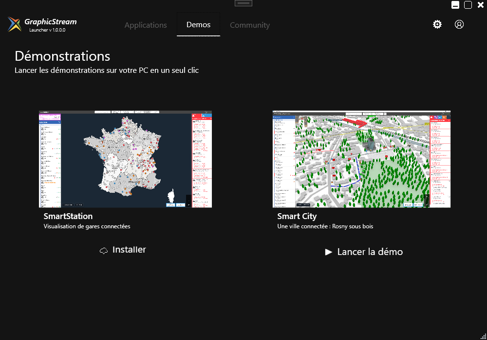
Demo selection in the Immersive Launcher
Try it in practice

Discover Beholder through a practical example.

Talk to our team for a demo tailored to your operations, or explore the Immersive Launcher to install applications and access available demos.