Understand the site. Find your way.
In an unfamiliar building or a large facility, Beholder helps teams locate their destination and prepare their route. The 3D map, movement constraints and directions connect monitoring to field travel.
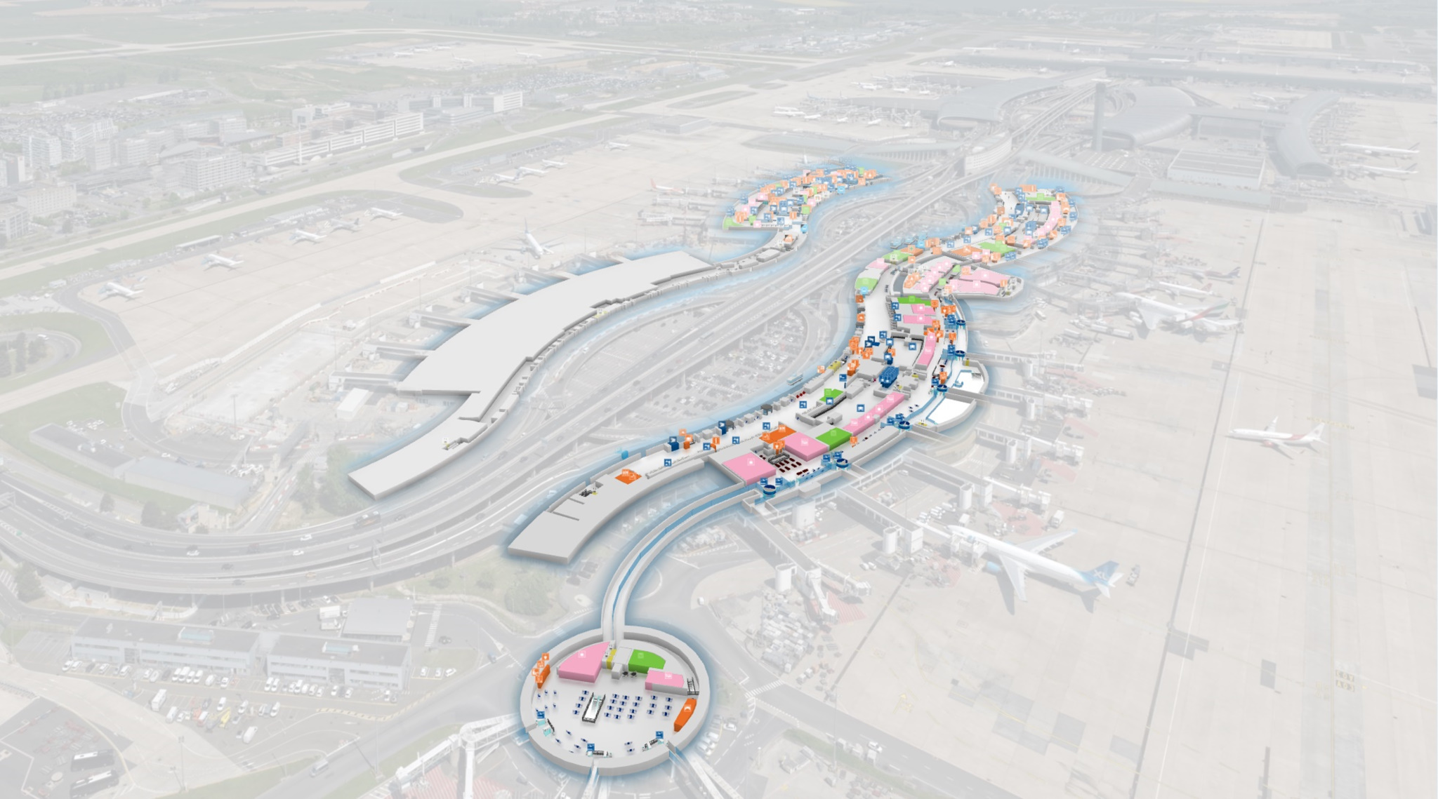
A scaled map connects digital locations to the physical site.
From map to route, keep your bearings.
Maps preserve site dimensions and proportions to position information consistently. Choose a destination, account for configured constraints and use the most helpful representation at each stage of the journey.
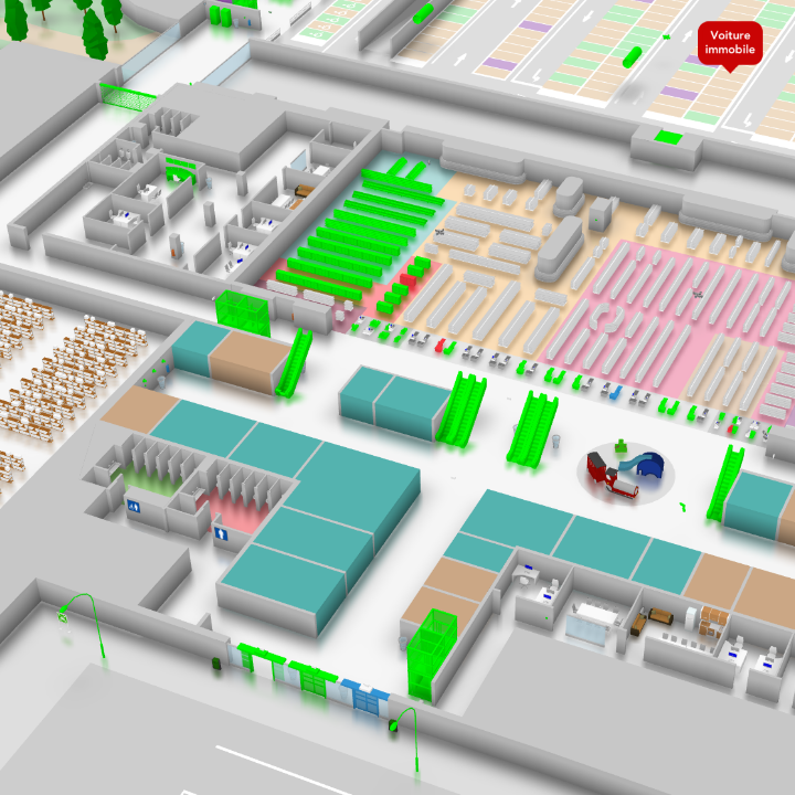
Understand a complex layout.
The 3D representation shows levels, volumes, access points and connections between spaces. It helps users understand how a building or site is organised, even on a first visit.
Move from the overview to the relevant area to locate the target asset and the passages leading to it. Map objects and shapes provide landmarks to recognise on site.
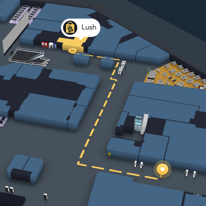
A route adapted to the constraints.
The routing engine can account for constraints defined for the site: accessibility for people with reduced mobility, permitted passages or conditions for moving heavy or bulky loads.
The proposed route depends on the selected criteria and information in the map. This helps prepare travel that matches operational needs and the movement options represented in the model.
Recognise the route before taking it.
The first-person view places the user at ground level inside the digital twin. They can travel the route virtually and identify turns, access points and distinctive landmarks.
This preparation complements the overview map. It helps users become familiar with an unknown environment and understand how the route’s stages connect.
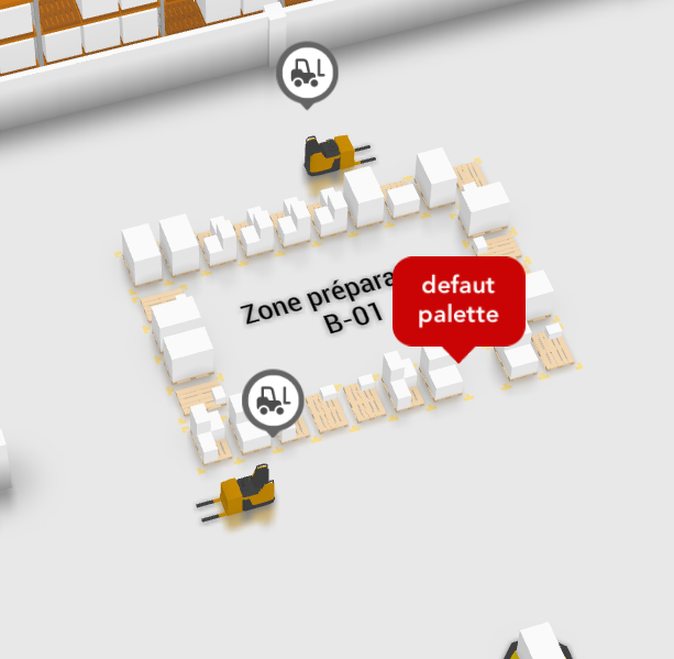
Connect a position to the map.
An object, vehicle or person can be placed on a georeferenced map using coordinates. Depending on the integration, positions come from GPS, mobile device interfaces or your information system.
Tracking availability and accuracy depend on the positioning source. If no position is supplied, users can select their own start and destination on the map.
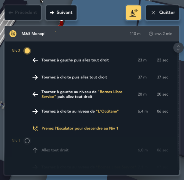
Step-by-step directions.
The route can be presented as a list of directions. Each step explains how to progress towards the destination, alongside the route shown on the map.
Field teams have both a spatial representation and text directions. They can prepare travel in advance and refer to the route sequence during the intervention.
Guidance that follows your movement.
When updated position data is available, the route can adapt automatically as the user moves. The directions update to remain consistent with their progress.
The map, route and steps stay together in one interface. Users retain a reference for their position and the remaining route to the intervention site.
A routing engine with or without positioning.
Route calculation does not require an external server when routing data is available locally. Without a positioning system, start and destination can be defined using points of interest or chosen positions.
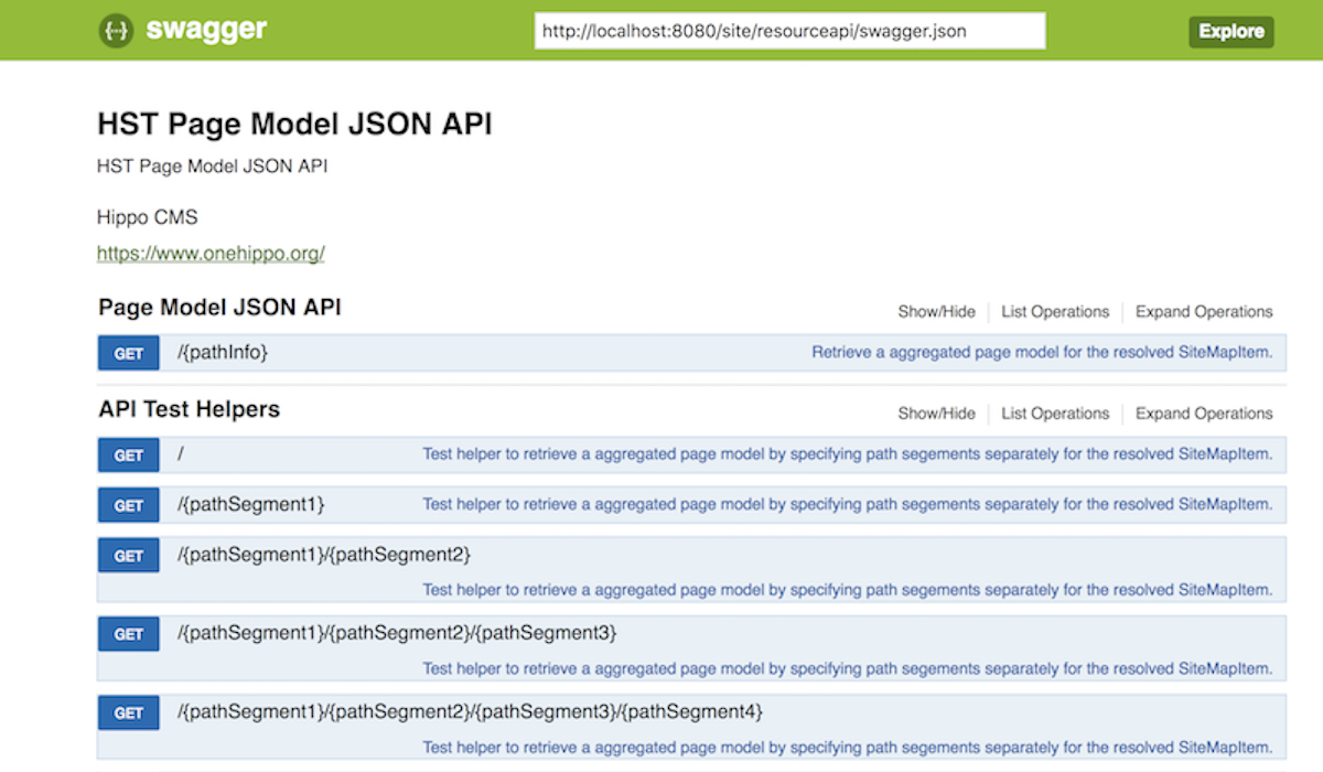
Routing functions are also exposed through Immersive’s Web APIs. Your applications can integrate route calculation and wayfinding into their own workflows using site data.