Explore the place before you go.
The first-person view places you at ground level inside the digital twin. Instead of only reading a route on a map, you travel it virtually to understand spaces, recognise landmarks and prepare your journey.
A demonstration of ground-level navigation in Immersive.
Connect the map to what you will see on site.
The overview explains where to go. The first-person view shows how spaces connect along the route. Together, they help you prepare a visit, reach an asset or understand a complex environment.
Landmarks to help you get started.
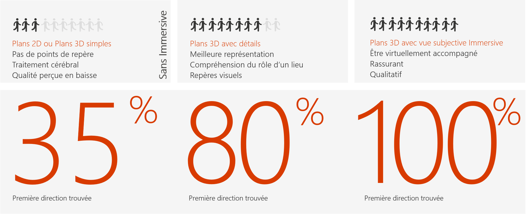
The layout, access points and objects shown on the map provide a framework for movement. By exploring the place virtually, users can identify their starting point and understand the first direction to take.
Volumes and recognisable features become landmarks: an opening, a level change, a piece of equipment or a junction. The first-person view makes the route understandable beyond a sequence of lines on a map.
Understand volumes and depth.
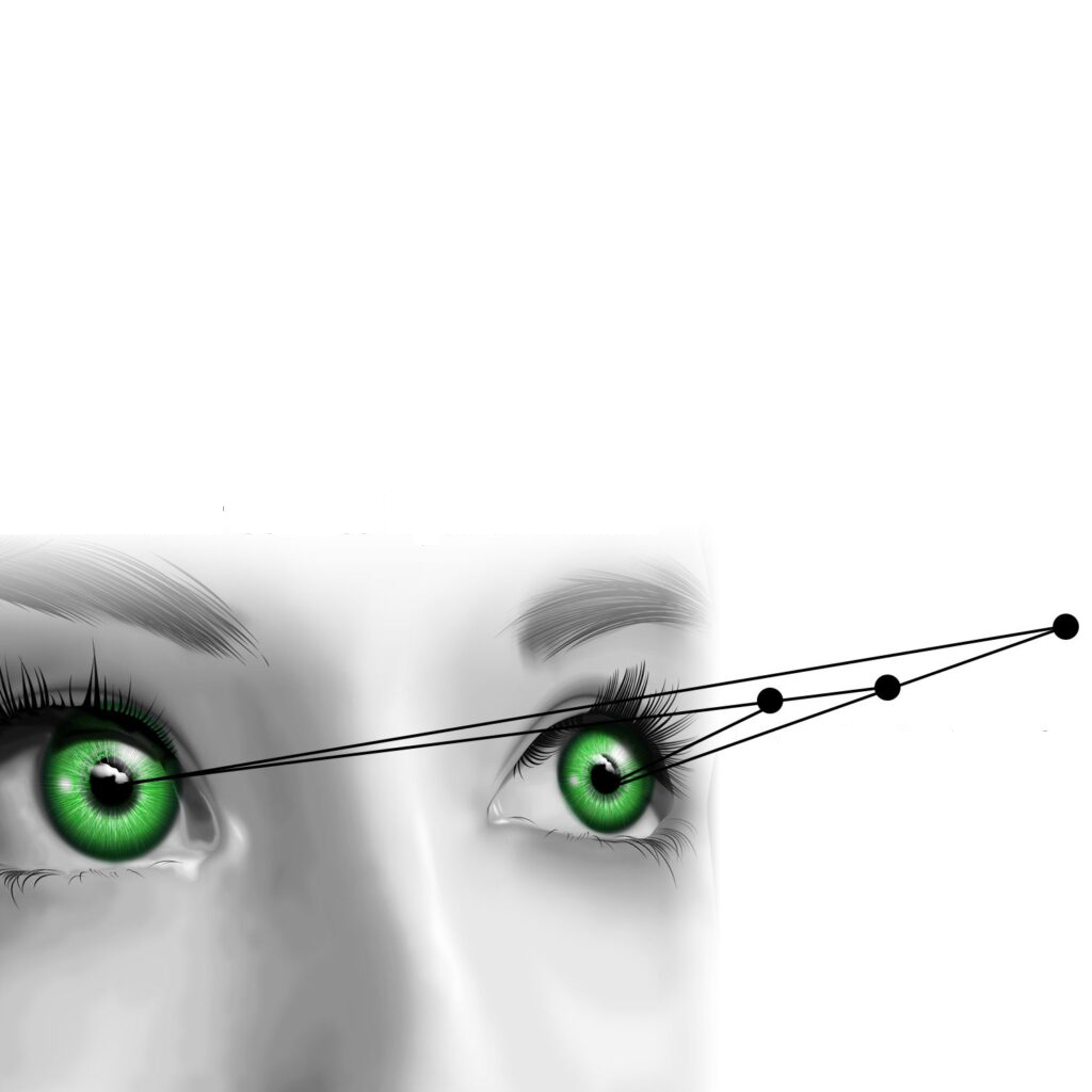
To find our bearings, we use cues from shape, perspective and relative position. A 3D representation can show the height of a space, the arrangement of objects and the relationships between site levels.
Binocular vision is one example of perceiving depth from different viewpoints. On a conventional screen, Immersive uses perspective and movement within the scene; its 3D display does not require a stereoscopic device.
Augmented reality
Move through a space to anticipate, understand and improve it: Immersive maps are georeferenced and drawn to scale. Augmented reality and first-person views let you explore a place from its users’ perspective.
Explore a place virtually to assess a layout, examine planned changes and prepare interventions. This exploration helps you understand the effects of proposed changes and anticipate the impact of your actions and decisions.
Prepare a route, even without GPS.
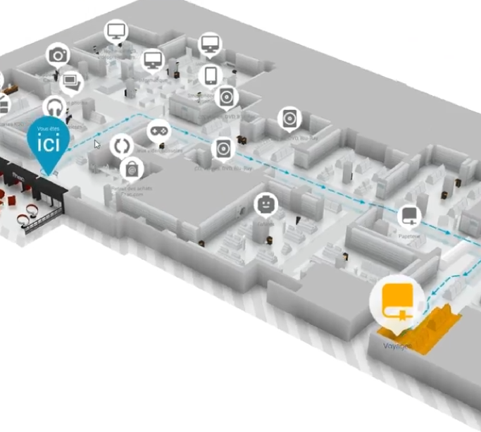
Choose a start and destination from points of interest or map positions, then preview the route before taking it. You can identify key stages and become familiar with an environment you have not yet visited.
The routing engine can calculate a route without an external server when the required data is available locally. GPS is not essential for planning a route; when updated position data is available, it can support guidance while moving.
3D that helps you understand the site.
The 3D map distinguishes shapes, terrain and equipment to make spatial information more explicit. First-person view extends this approach, bringing the map representation closer to the way people actually move through a place.
The Immersive engine is designed for PCs, smartphones, tablets and browsers, depending on the chosen deployment. Overview and ground-level exploration remain complementary tools, chosen according to the task and device.