An interface designed to help you understand and act.
A useful map must be readable, responsive and suited to its users. Immersive brings together 3D representation, application usability and software architecture to connect places, information and actions.
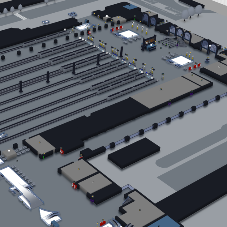
From map design to the experience on site.
Design goes beyond appearance. It shapes what users see, how they find their bearings and the interactions that help them complete their tasks.
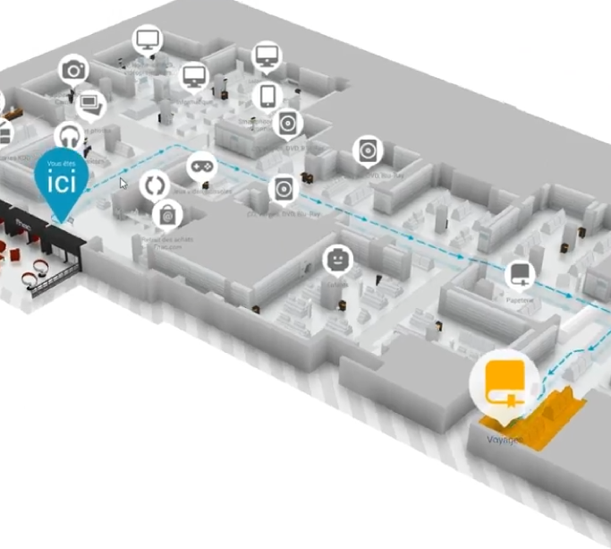
3D that makes places easier to read.
Volumes, relief and recognisable objects give a map meaning. They help distinguish levels, understand a passage and relate the representation to the actual place.
The level of detail should serve the task: enough landmarks to understand the scene, without obscuring information needed for wayfinding or supervision.

An architecture designed for responsiveness.
Immersive uses an engine designed to represent sites with compact data. Preparing content and controlling data exchanges help keep loading times down.
Responsiveness also depends on model size, displayed data, the device and the network. These factors are considered together to adapt the experience to actual deployment conditions.

An interface that supports the task.
Controls and information adapt to the available space and screen orientation. The aim is to keep the map readable while making useful tools available at the right moment.
User feedback and discussions with development teams guide improvements. Revealing information progressively helps reduce visual overload and maintain consistent interactions.
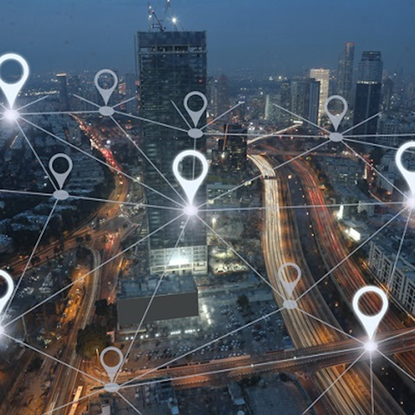
Connect data to its real-world location.
Georeferenced maps can locate equipment, vehicles or people when a connected system supplies their position. GPS, mobile applications and information systems can feed this representation through the integrations in place.
Basemaps can complement site plans, including through compatible WMTS tile services. Data sources, coordinate systems and update frequency are defined for each project.
Move from the map to the user’s viewpoint.
First-person view lets users explore a place virtually at eye level. The model’s volumes and landmarks provide a practical way to understand a route before travelling.
This complements the overview: plan a journey on the map, then examine passages and turns from a perspective closer to being on site.
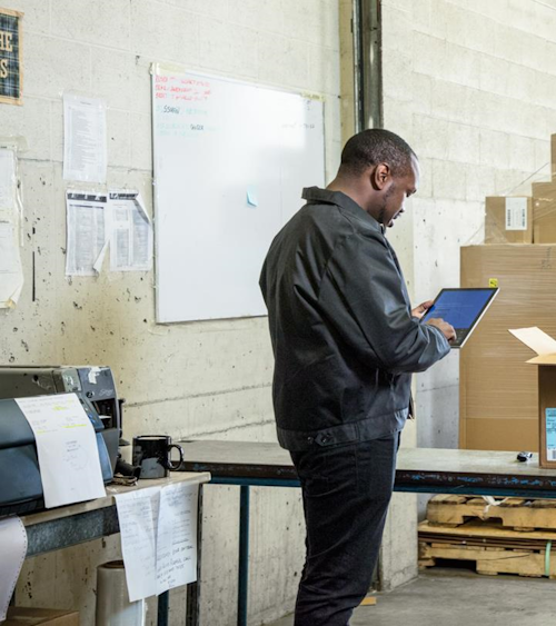
An experience suited to different devices.
Immersive supports desktop, web and mobile uses depending on the applications deployed. The same representation of a site can support preparation, consultation and field work.
Delivery method, device resources and connectivity are part of project planning. A modular architecture allows content and features to evolve while taking on-site constraints into account.
Let’s design an experience for your users.
Start with your sites, use cases and project constraints to choose the right representations and interactions.