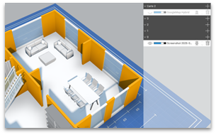
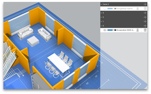
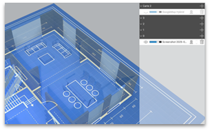
Forge: Added a blueprint.
- Getting started
Training
Adding datum planes to Forge is a crucial step to ensure a Accurate and realistic modeling. These plans serve as a Graphical basis to the creation of structures, areas and 3D elements, by providing a geolocated visual support faithful to the site represented.
Forge allows you to integrate different types of basemaps, whether it isSatellite images, Georeferenced documents (PDF, images) or files Personalized. The system also offers granular management, with the ability to add specific funds to a given floor or the entire map.
This chapter presents the tools and methods to:
- View and manage thebasemap interface.
- Import external reference files.
- Geolocation manually imported documents.
- Adjust visibility and overlay with already modeled 3D objects.
Mastering this feature ensures a Rigorous alignment between the reality on the ground and numerical modeling, facilitating the positioning of structures, areas and equipment on a reliable visual basis.
Prerequisites
- Have Forge installed
- Have launched Forge connected to the target organization where the card will be stored.
- Have knowledge of the Forge interface and the role of its different parts.
- Have created and posted a map.
Adding a plan
To display the basemap management interface, click on this icon:

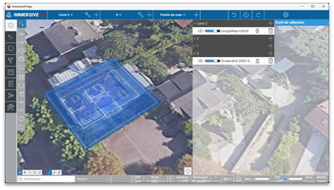
By default, Forge adds a satellite basemap to the map creation. We see it appear in the folder that takes the name of the card, here "Map 2". Any background placed in this folder will be visible regardless of the active floor.
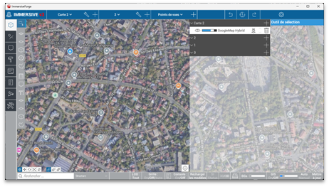
Clicking on the + at the end of a floor allows you to add a limited background plan to that floor.
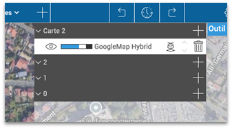
To use an external file (image or PDF), choose "GeoReferencedImage".
A window will then open to configure the plan before positioning it in the map.
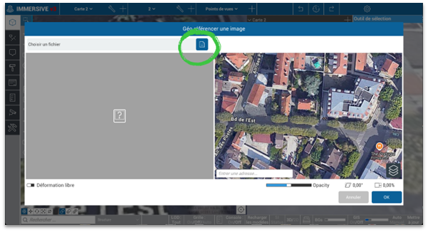
Let's start by choosing the basemap file to use by clicking on this icon.
Once imported, you need to define the control points. Move the green and red circles to 2 diametrically opposite corners of the building in the left view:
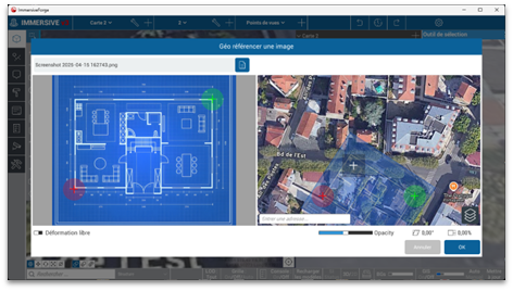
Then in the view on the right, align these same red and green dots on the view to geolocate the map.
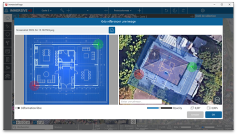
You can now click "OK" to see the basemap appear in the 3D mapping.
Change the view of basemaps
Adding structures and areas to a basemap will gradually obscure it. To continue using it, it is possible by clicking on this icon to display the basemap above the areas or through the structures and models.
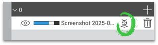
Each click changes its representation.