Operational digital twin
Understand your sites. Act in the right place.
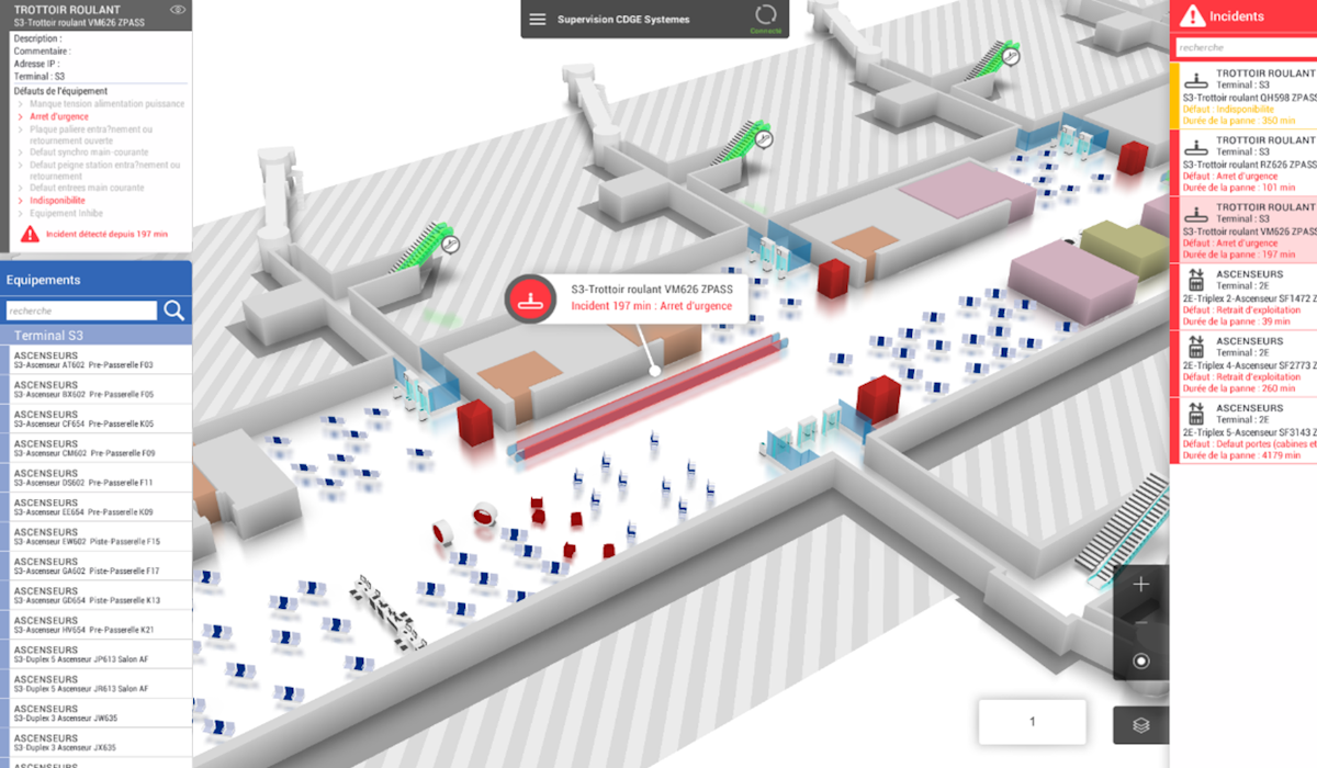
Immersive turns your maps and data into visual interfaces to monitor, guide, collaborate and manage operations in real time.
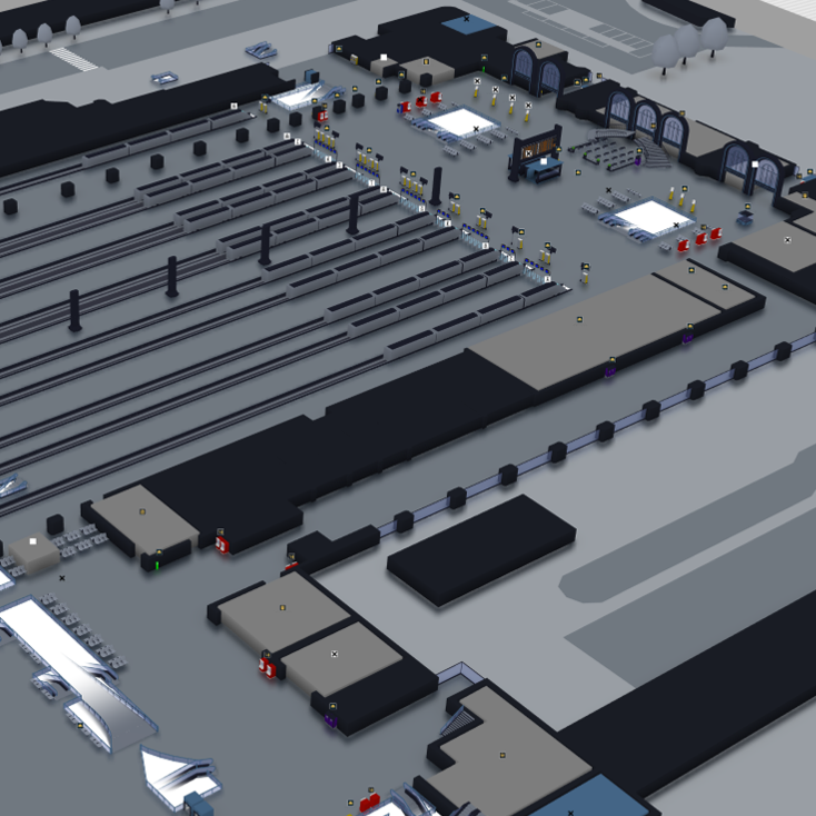
A clear map. Data that makes sense.
Immersive is a software solution that represents your buildings, sites and equipment in 2D and 3D. It connects this map to business information, making it a working tool: locate equipment, understand an alarm, find a route or book a space.
Forge lets you create and maintain maps. Immersive services connect them to your information system; Beholder, Compass and Flex Office make them useful day to day, in your tools or an integrated application.
Create and update with ease
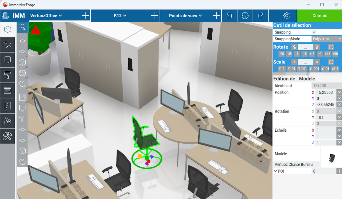
An editor to keep site maps and information up to date as your needs change.
Keep it lightweight and clear
Smooth 2D and 3D maps designed for use on computers, tablets and smartphones.
Integrate and extend
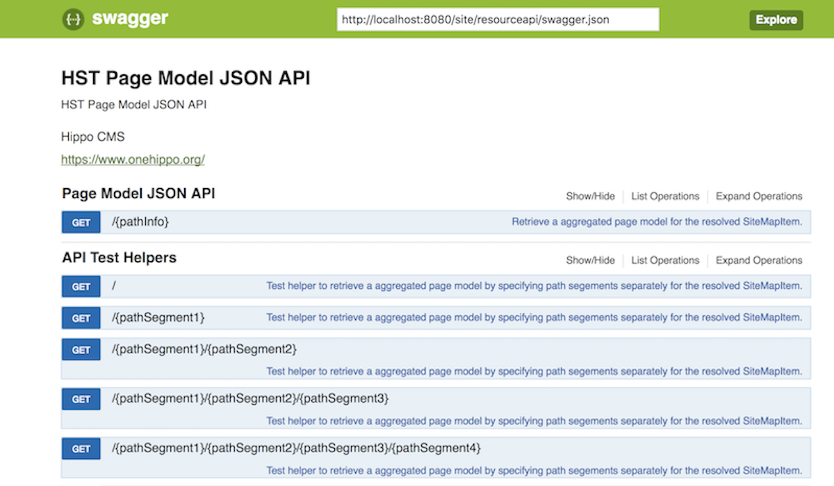
APIs and an SDK to reuse your data and add functions tailored to your operations.
One platform, many operations
From a static map to a working tool.
Immersive puts information in its physical context to help people understand, decide and respond faster.
Guide
Guide visitors, passengers and employees with clear routes suited to their context.
Discover CompassManage spaces
Publish availability and simplify booking desks, rooms and resources.
Discover Flex OfficeCreate and maintain
Build, enrich and publish the maps that power Immersive applications.
Discover ForgeHow Immersive works
Create. Connect. Use.
A connected software workflow takes you from existing maps to an operational application linked to your information system.
Create with Forge
Organise spaces, equipment, points of interest and metadata in a map you can maintain.
Connect data
Connect the map to applications, reference data and operational events through APIs and integration services.
Put applications to work
Deploy Beholder, Compass or Flex Office to suit your users, operations and expected outcomes.
Software ecosystem
Each product has a clear role.
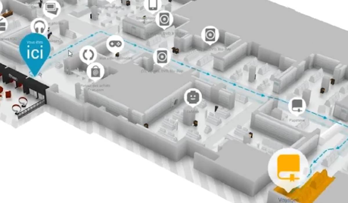
Compass
The wayfinding solution that helps everyone find a destination and a suitable route.
Discover Compass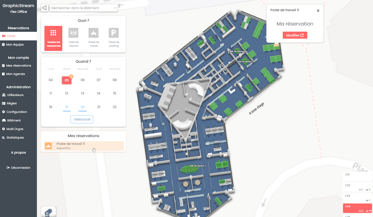
Services and APIs
The interoperability layer connecting Immersive to business data and applications.
Connect your information systemArchitecture
An open platform
Deploy the components you need to meet site, network and user requirements.
Understand the architectureReal operations
One foundation, adapted to each environment.
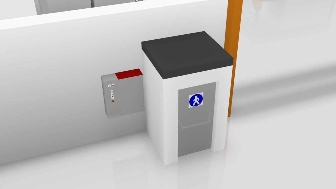
Ports and logistics, stations, offices, industrial sites and public buildings: applications are configured around operational needs and available data.
Frequently asked questions
Understanding Immersive.
What is an operational digital twin?
It is a usable representation of a physical site, connected to its data and equipment to help you understand a situation and act.
Can Immersive run in the cloud and on-premises?
Immersive can be deployed in the cloud or on company infrastructure according to technical and governance requirements.
Can Immersive connect to an existing information system?
Yes. The integration layer provides OData services, Web APIs and a JavaScript SDK to exchange data with business applications.
Your project
See Immersive with your own data.
Tell us about a site, a floor plan or an operational need. We will show you the most suitable implementation approach.