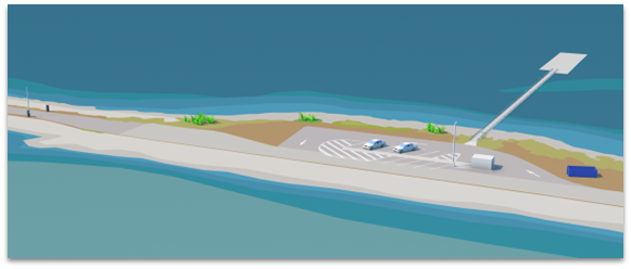
Exterior
- Getting started
Training
Modeling the exterior of a building in Forge is not just a simple décor: it allows you toanchor the project in its real environment, to better understand its access, its location and its interactions with the surrounding context. By creating a cohesive and detailed exterior, the Spatial legibility, we anticipate certain uses, and we facilitate communication around the project.
This chapter outlines best practices and tools available for:
- Add a georeferenced basemap (image or satellite view).
- Delineate the environment with Simple shapes (rectangles, circles).
- Representing the Types of soils (grass, water, concrete, etc.).
- Integrate Outdoor structures (neighboring buildings, roads, pedestrian areas)
- Enrich the scene with Generic or specific 3D models (street furniture, trees, equipment).
To take care of the exterior of a map is to give modeling a Overall coherence, both aesthetic and functional.
Prerequisites
- Have Forge installed
- Have launched Forge connected to the target organization where the card will be stored.
- Have knowledge of the Forge interface and the role of its different parts.
- Have created and posted a map.
- Have created content.
Creating the exterior of a map allows you to locate it in its environment, to understand its location, distances and frame.
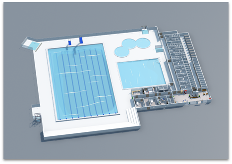
Let's take the case of this pool:
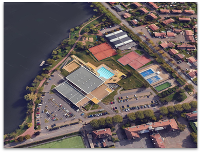
Place an image or satellite view source in the background
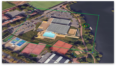
Frame the boundary with a simple geometric shape, such as a rectangle or circle.
Then add areas with different materials that will represent the different types of soil present: grass, earth, concrete, water, etc.
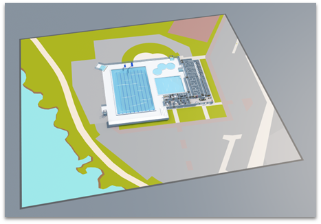
Then add the exterior buildings with structures.
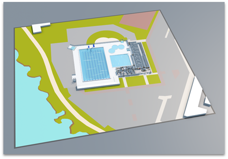
The addition of road elements through zones makes it possible to complete the tracing of the exterior by adding a layer of details.
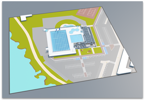
From then on, generic 3D models can be added to dress up the map.
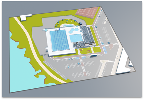
Then comes the stage of the trees. The trees are easily added and allow you to break the verticality of the empty areas.
See the point Special case of duplicate objects such as trees to improve the look of your map.
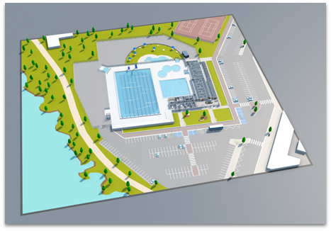
Then, if site-specific templates are available, it's time to add them.
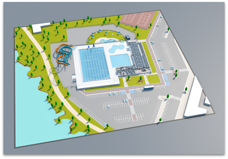
We can now see the importance of lingering on the outside of a map
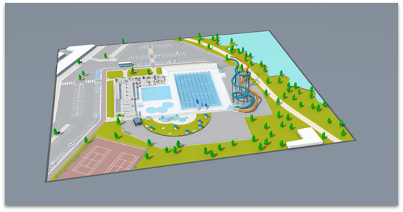
It is also possible to go further by focusing on the layout and the diversity of materials.
From a simple route like this:

Corresponding to this portion of the coastline of Le Havre:
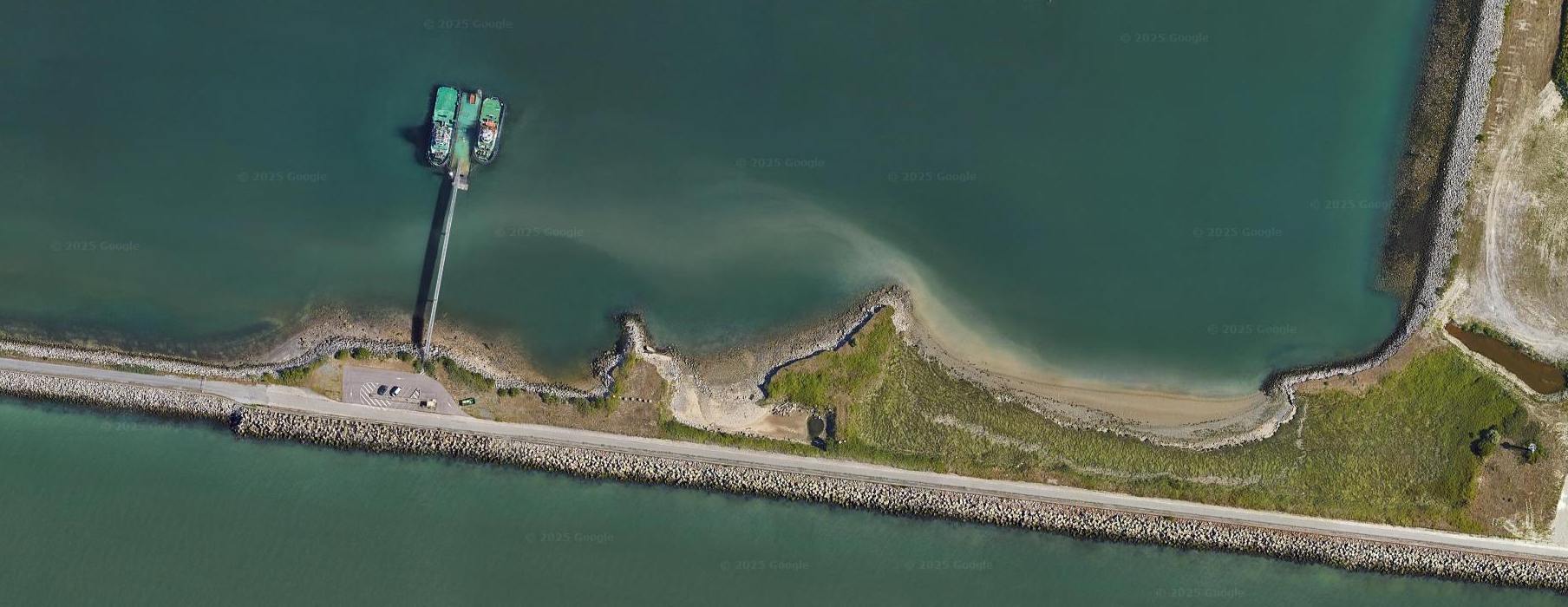
The quality of the line can be increased by refining the line.

Then, using multiple materials to define the zones.
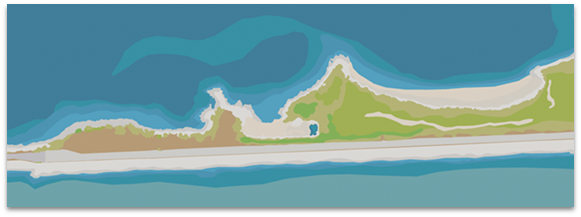
The result is a more understandable map.